
The short answer
- Google Maps on a computer: right-click, choose Measure distance, click round the land and close the shape to see the area.
- Google Earth on the web, Google Earth Pro and the Google Earth app measure area too.
- The Google Maps phone app measures distance, not area.
- Divide square feet by 43,560 to turn the area into acres.
How do you measure area on Google Maps on a computer?
You measure area on Google Maps on a computer with the Measure distance tool: click round the boundary and close the shape, and the area appears next to the distance. It works in any desktop browser.
- Open Google Maps and turn on the satellite layer.
- Zoom in until you can see the land’s corners clearly.
- Right-click the first corner and choose Measure distance.
- Click each corner in order. Drag a point to move it.
- Click the first point again to close the shape. The card at the bottom shows the total area and the distance.
- Click Close on the card when you are done. The shape is not saved.
Add a point at every bend, not just the main corners. Each straight line between points cuts across any curve, and the area drifts with it.
How do you measure acreage on Google Earth?
You measure acreage on Google Earth with its measure tool: outline the land, close the shape and read the area. Google Earth works three ways:
- Google Earth on the web: open the ruler tool, click round the land and click the first point to close it.
- Google Earth Pro on a computer: open Tools, then Ruler, pick the polygon tab and click round the land. You can save the shape to your places.
- The Google Earth app: tap Measure, add a point at each corner, then connect to the first point and tap Close Shape.
Google’s own help notes that these measurements ignore changes in elevation, and recommends a top-down view.
Can you measure area in the Google Maps app on a phone?
You can’t measure area in the Google Maps phone app; on Android and iPhone it measures distance only. Touch and hold the map to drop a pin, open its card and choose Measure distance, then add points along the way. That gives a length, such as the run of a fence, but no area.
| Tool | Where it runs | Measures area |
|---|---|---|
| Google Maps | Computer browser | Yes, once the shape is closed |
| Google Maps app | Android, iPhone | No, distance only |
| Google Earth | Web browser | Yes |
| Google Earth Pro | Computer | Yes |
| Google Earth app | Android, iPhone | Yes, with Close Shape |
How accurate is measuring land on Google Maps?
Measuring land on Google Maps is as accurate as the imagery and your clicks. The math is exact; the outline isn’t. Trees over a boundary, a blurry zoom level or old imagery all move the corners you click. A 2.47-acre field drawn 1 m (3.3 ft) too wide all round gains about 0.1 acre, or 4%.
Google Maps also forgets the shape when you close the card, measures land flat with no slope, and can’t follow you as you walk the edge. For a number you will order materials or quote a job from, measure twice. How to measure land explains the GPS walk for edges you can’t see from above.
 Measure on your iPhone insteadTap the corners in AreaPal, read the area in acres and keep the shape.

How do you measure land on an iPhone instead?
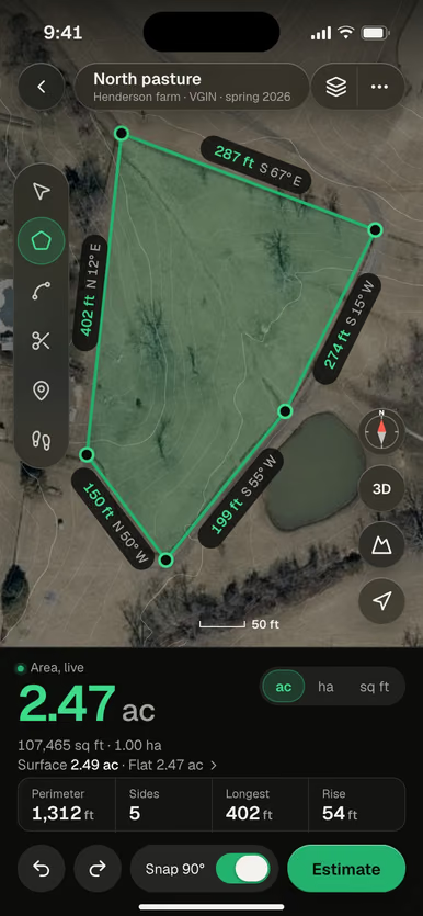
You measure land on an iPhone with a land measuring app that reads the area as you tap each corner on the satellite map. In AreaPal, search the address or coordinates, tap the corners, and the area, perimeter and side lengths appear live in acres, square feet, hectares or any other unit.
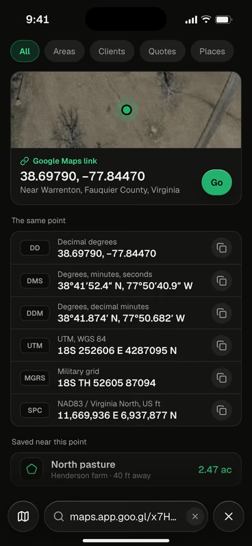
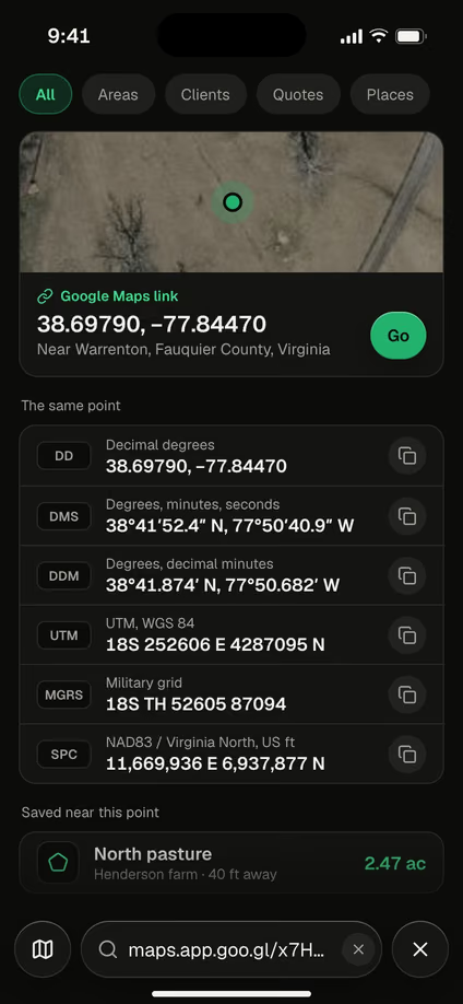
Paste a shared Google Maps link and AreaPal opens the same spot, with its coordinates in every format and the areas saved nearby.
The shape stays in your library with its notes and photos. It exports as KML or KMZ, which open in Google Earth, as well as GPX, GeoJSON, CSV, DXF, Shapefile and a PDF report. Where trees hide the boundary, switch to walk mode and trace it on foot.
How do you turn the Google Maps area into acres?
You turn the Google Maps area into acres by dividing square feet by 43,560, or square meters by 4,046.86, or with the square feet to acres converter. A yard measured at 18,420 sq ft is 0.42 acre; a field at 9,984 m² is 2.47 acres. For irregular land, the outline on the map already does the hard part; how to calculate acreage shows the formulas behind it.
Questions
Why can't I see the area in Google Maps?
The area appears only once the shape is closed by clicking your first point again. While the points form an open line, Google Maps shows the distance only.
Can I measure area in Google Maps on Android?
The Google Maps app on Android and iPhone measures distance along a path, not area. Use Google Maps in a computer browser, or the Google Earth app, for area.
Can I measure my yard using Google Maps?
Yes, on a computer. Outline the yard and close the shape, then measure the house and driveway the same way and subtract them if you need the lawn only.
Sources: Google Maps Help, Measure distance between points, and Google Earth Help, Measure distances and areas (read November 2026; Google changes these screens from time to time); NIST Handbook 44, Appendix C (1 acre = 43,560 sq ft).
 Imagery USDA NAIP 2023
